





Operation Dronagiri: revolutionising geospatial innovation for national development
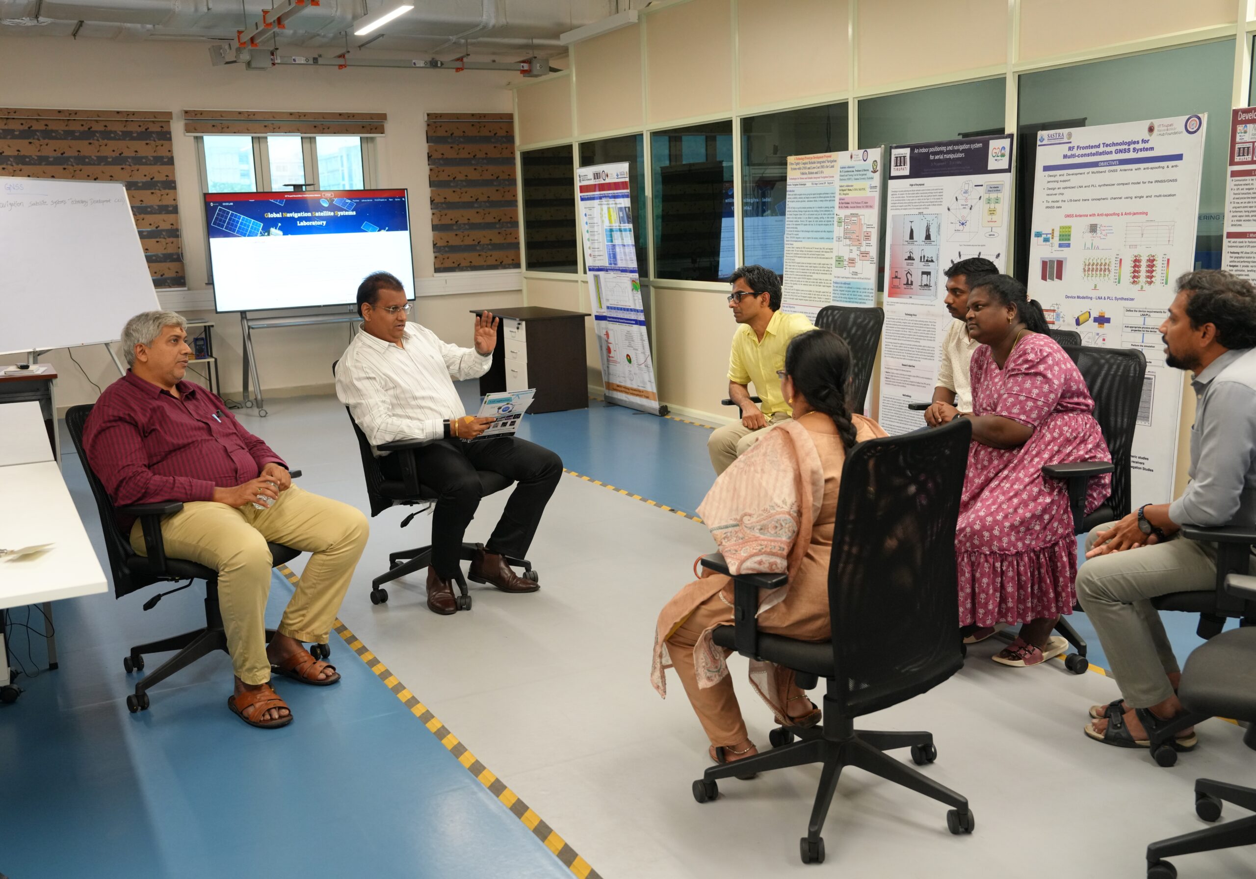
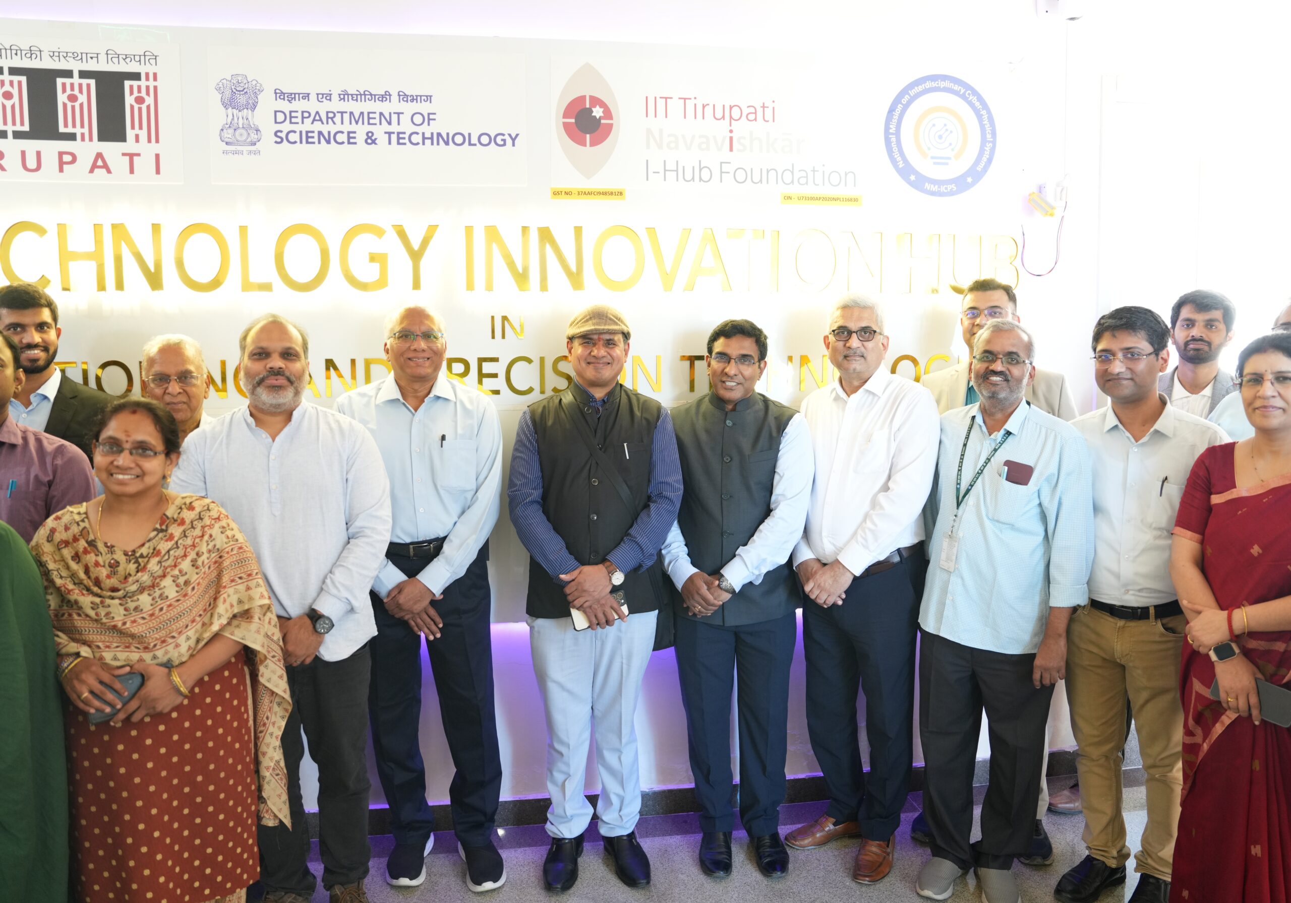
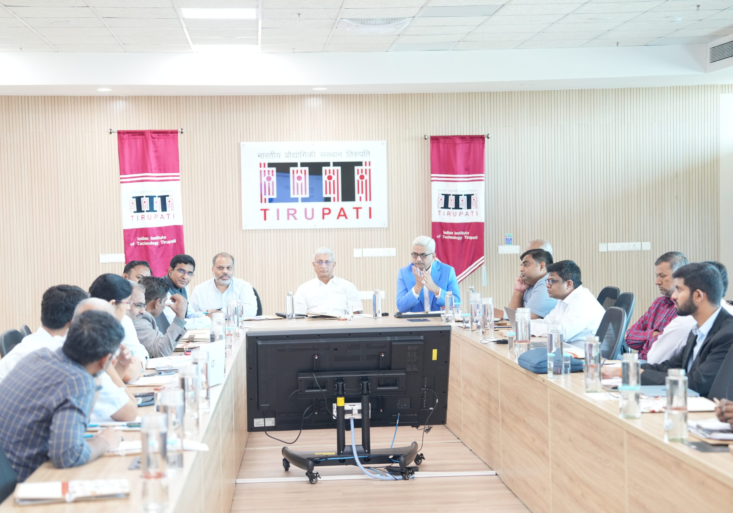
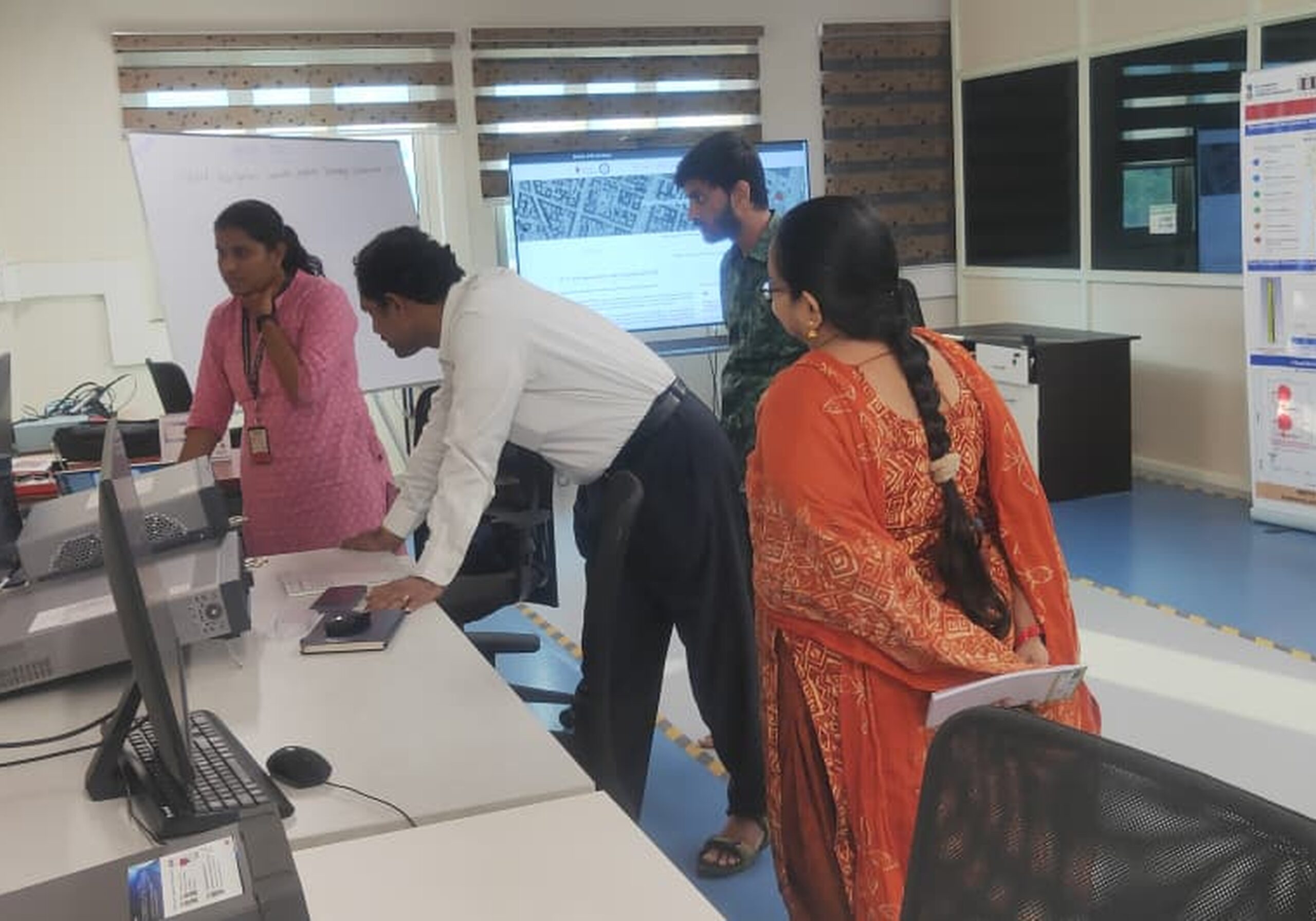
IITTNiF has launched Operation Dronagiri — a landmark initiative that harnesses the power of drone-based geospatial intelligence to accelerate progress across precision agriculture, disaster response, urban planning, and land administration. The programme brings together IITTNiF’s GNSS, GIS, and AI/ML labs in a coordinated effort with government and industry partners.